
Narcimont topographic map
Interactive map
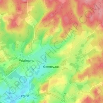
Click on the map to display elevation.
About this map
Name: Narcimont topographic map, elevation, terrain.
Location: Narcimont, Léglise, Luxembourg, Wallonie, 6860, Belgique (49.79762 5.53438 49.83762 5.57438)
Average elevation: 1,460 ft
Minimum elevation: 1,293 ft
Maximum elevation: 1,631 ft