
West Bragg Creek Provincial Recreation Area topographic map
Interactive map
Click on the map to display elevation.
About this map
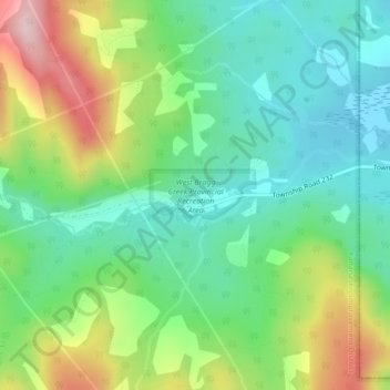
Name: West Bragg Creek Provincial Recreation Area topographic map, elevation, terrain.
Average elevation: 4,810 ft
Minimum elevation: 4,524 ft
Maximum elevation: 5,367 ft