
Kereiti topographic map
Interactive map
Click on the map to display elevation.
About this map
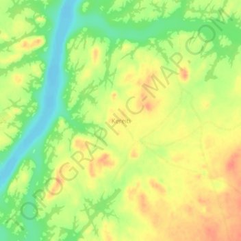
Name: Kereiti topographic map, elevation, terrain.
Location: Kereiti, Nil-Fluss, Sudan (18.95511 32.41768 18.99511 32.45768)
Average elevation: 997 ft
Minimum elevation: 906 ft
Maximum elevation: 1,070 ft