
Jabal Dakah topographic map
Interactive map
Click on the map to display elevation.
About this map
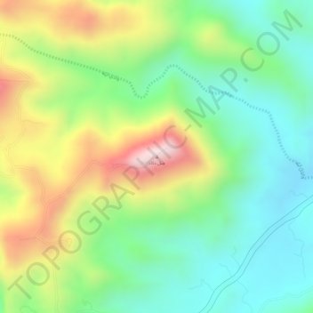
Name: Jabal Dakah topographic map, elevation, terrain.
Location: Jabal Dakah, At Taif, Makkah Region, Saudi Arabia (21.09384 40.29273 21.09394 40.29283)
Average elevation: 7,569 ft
Minimum elevation: 6,988 ft
Maximum elevation: 8,451 ft
Other topographic maps
Click on a map to view its topography, its elevation and its terrain.
King Fahad
King Fahad, At Taif, Makkah Region, Saudi Arabia
Average elevation: 5,607 ft