
Hagfors topographic map
Interactive map
Click on the map to display elevation.
About this map
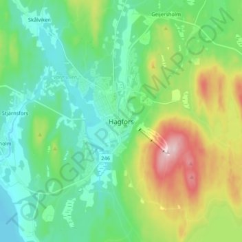
Name: Hagfors topographic map, elevation, terrain.
Location: Hagfors, Värmland County, Region Svealand, 683 30, Sweden (59.99205 13.66024 60.07205 13.74024)
Average elevation: 666 ft
Minimum elevation: 394 ft
Maximum elevation: 1,368 ft