
Ronciglione topographic map
Interactive map
Click on the map to display elevation.
About this map
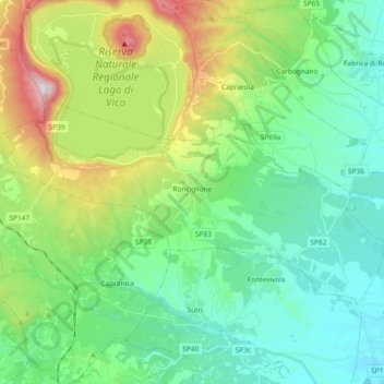
Name: Ronciglione topographic map, elevation, terrain.
Location: Ronciglione, Viterbo, Lazio, Italia (42.25029 12.12102 42.32761 12.30628)
Average elevation: 1,388 ft
Minimum elevation: 725 ft
Maximum elevation: 3,199 ft