
Bois du Luc topographic map
Interactive map
Click on the map to display elevation.
About this map
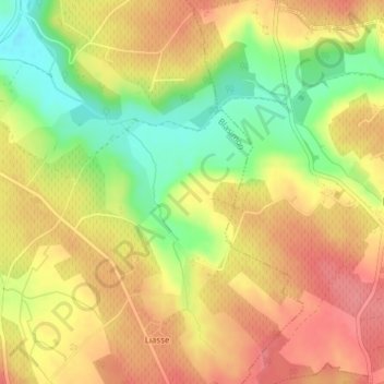
Name: Bois du Luc topographic map, elevation, terrain.
Average elevation: 240 ft
Minimum elevation: 79 ft
Maximum elevation: 351 ft
Other topographic maps
Click on a map to view its topography, its elevation and its terrain.
Blasimon
France > Nouvelle-Aquitaine > Blasimon
Blasimon, Langon, Nouvelle-Aquitaine, France métropolitaine, 33540, France
Average elevation: 253 ft