
Sidi Ghalem topographic map
Interactive map
Click on the map to display elevation.
About this map
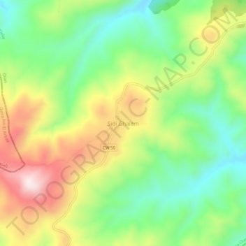
Name: Sidi Ghalem topographic map, elevation, terrain.
Location: Sidi Ghalem, Daïra Oued Tlelat, Oran, Algérie (35.41124 -0.58259 35.45124 -0.54259)
Average elevation: 1,716 ft
Minimum elevation: 1,086 ft
Maximum elevation: 2,595 ft