
District of Nitra topographic map
Interactive map
Click on the map to display elevation.
About this map
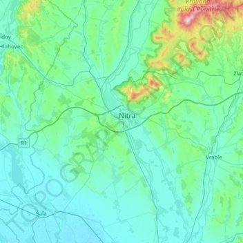
Name: District of Nitra topographic map, elevation, terrain.
Location: District of Nitra, Region of Nitra, Western Slovakia, Slovakia (48.14130 17.83295 48.46473 18.43879)
Average elevation: 620 ft
Minimum elevation: 364 ft
Maximum elevation: 2,700 ft