
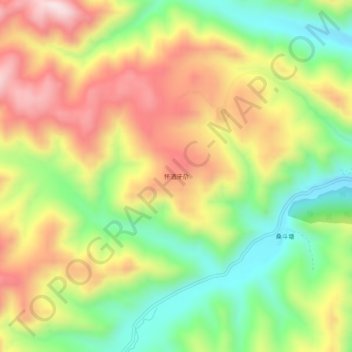
怀洒牙尕 topographic map
Interactive map
Click on the map to display elevation.
About this map
Name: 怀洒牙尕 topographic map, elevation, terrain.
Location: 怀洒牙尕, 扎油乡, 夏河县, 甘南藏族自治州, 甘肃省, 中国 (34.99721 102.76847 35.03721 102.80847)
Average elevation: 10,335 ft
Minimum elevation: 9,534 ft
Maximum elevation: 11,227 ft