
雁塔 topographic map
Interactive map
Click on the map to display elevation.
About this map
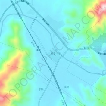
Name: 雁塔 topographic map, elevation, terrain.
Location: 雁塔, 南靖县, 漳州市, 福建省, 中国 (24.55938 117.42992 24.59938 117.46992)
Average elevation: 256 ft
Minimum elevation: 33 ft
Maximum elevation: 1,368 ft
Other topographic maps
Click on a map to view its topography, its elevation and its terrain.