
Hacienda San José topographic map
Interactive map
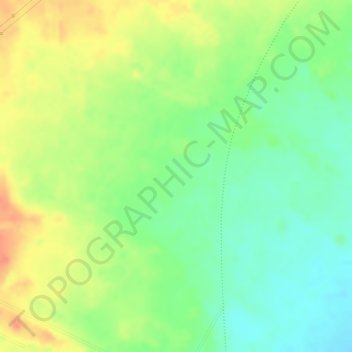
Click on the map to display elevation.
About this map
Name: Hacienda San José topographic map, elevation, terrain.
Average elevation: 801 ft
Minimum elevation: 715 ft
Maximum elevation: 886 ft
Other topographic maps
Click on a map to view its topography, its elevation and its terrain.
Parroquia Buría
Venezuela > Estado Lara > Municipio Simón Planas
Parroquia Buría, Municipio Simón Planas, Estado Lara, Venezuela
Average elevation: 991 ft
La Miel
Venezuela > Estado Lara > Municipio Simón Planas
La Miel, Parroquia Gustavo Vegas León, Municipio Simón Planas, Estado Lara, 3015, Venezuela
Average elevation: 994 ft