
鸡鸣岛灯塔 topographic map
Interactive map
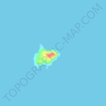
Click on the map to display elevation.
About this map
Name: 鸡鸣岛灯塔 topographic map, elevation, terrain.
Location: 鸡鸣岛灯塔, 环海公路, 荣成市, 威海市, 山东省, 264300, 中国 (37.45067 122.48312 37.45077 122.48322)
Average elevation: 3 ft
Minimum elevation: 0 ft
Maximum elevation: 207 ft
Other topographic maps
Click on a map to view its topography, its elevation and its terrain.