
Long Hill topographic map
Click on the map to display elevation.
About this map
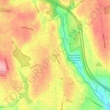
Name: Long Hill topographic map, elevation, terrain.
Average elevation: 384 ft
Minimum elevation: 98 ft
Maximum elevation: 581 ft
Greater Bridgeport Planning Region trails, hiking, mountain biking, running and outdoor activities