Geolocate

Hochstaufen topographic map

Click on the map to display elevation.

Hochstaufen

At an altitude of 1,750 m is the Reichenhaller Haus, an alpine hut of the Deutscher Alpenverein (Section Bad Reichenhall).

Wikipedia (CC-BY-SA 3.0)

About this map

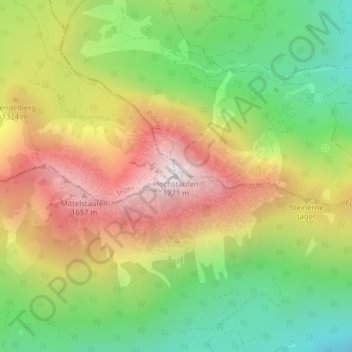
Name: Hochstaufen topographic map, elevation, terrain.

Location: Hochstaufen, Bad Reichenhall, Landkreis Berchtesgadener Land, Bavaria, 83435, Germany (47.75491 12.84871 47.75501 12.84881)

Average elevation: 3,658 ft

Minimum elevation: 1,909 ft

Maximum elevation: 5,682 ft

Gear up for your next adventure:

🌄Hiking Binoculars - Compact binoculars for scenic views and trail spotting
🛡️Insect Repellent - Protection against bugs during outdoor activities
🥄Camping Utensil Set - Lightweight utensils for outdoor meals
🧦Merino Wool Socks - Moisture-wicking, blister-preventing socks for long treks
💧Water Filtration Bottles - Safely drink from streams and lakes while exploring

As an Amazon Associate, this site earns from qualifying purchases at no extra cost to you.