
Thank you for supporting this site ❤️
Make a donation
Make a donation
Gear up for your next adventure:
As an Amazon Associate, this site earns from qualifying purchases at no extra cost to you.
3rd District topographic map
Click on the map to display elevation.
Thank you for supporting this site ❤️
Make a donation
Make a donation
Gear up for your next adventure:
As an Amazon Associate, this site earns from qualifying purchases at no extra cost to you.
About this map
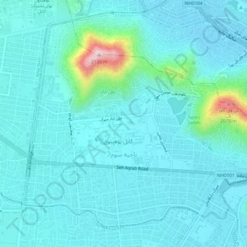
Name: 3rd District topographic map, elevation, terrain.
Location: 3rd District, Kabul, Kabul Province, 1009, Afghanistan (34.50243 69.11673 34.53347 69.16164)
Average elevation: 6,024 ft
Minimum elevation: 5,879 ft
Maximum elevation: 7,001 ft
Thank you for supporting this site ❤️
Make a donation
Make a donation
Gear up for your next adventure:
As an Amazon Associate, this site earns from qualifying purchases at no extra cost to you.