Tonopah topographic map
Click on the map to display elevation.
Tonopah
Tonopah has an arid, cold desert climate with cool winters and hot summers. Due to Tonopah’s aridity and high altitude, daily temperature ranges are quite large and lows in winter are similar to many continental climates. Nights are cool, even in summer.
About this map
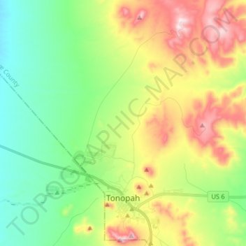
Name: Tonopah topographic map, elevation, terrain.
Location: Tonopah, Nye County, Nevada, United States (38.04767 -117.31519 38.15231 -117.18605)
Average elevation: 6,070 ft
Minimum elevation: 5,466 ft
Maximum elevation: 7,126 ft
Nye County trails, hiking, mountain biking, running and outdoor activities
Other topographic maps
Click on a map to view its topography, its elevation and its terrain.