
Ottersum topographic map
Interactive map
Click on the map to display elevation.
About this map
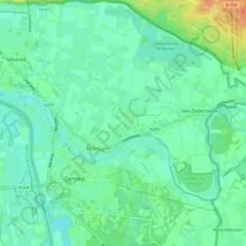
Name: Ottersum topographic map, elevation, terrain.
Location: Ottersum, Gennep, Limburg, Nederland (51.67824 5.97183 51.73929 6.03230)
Average elevation: 46 ft
Minimum elevation: 13 ft
Maximum elevation: 135 ft
Other topographic maps
Click on a map to view its topography, its elevation and its terrain.