
Kentish Creek topographic map
Interactive map
Click on the map to display elevation.
About this map
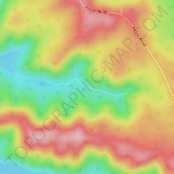
Name: Kentish Creek topographic map, elevation, terrain.
Average elevation: 1,296 ft
Minimum elevation: 974 ft
Maximum elevation: 1,558 ft
Other topographic maps
Click on a map to view its topography, its elevation and its terrain.
Brokers Nose
Australia > New South Wales > Wollongong
Brokers Nose, Brokers Nose Fire Trail, Cataract, Wollongong, Wollongong City Council, New South Wales, 2560, Australia
Average elevation: 761 ft
Mount Pleasant
Australia > New South Wales > Wollongong
Mount Pleasant, Wollongong, Wollongong City Council, New South Wales, 2519, Australia
Average elevation: 459 ft
Mount Keira
Australia > New South Wales > Wollongong
Mount Keira, Wollongong, Wollongong City Council, New South Wales, 2525, Australia
Average elevation: 732 ft