
Parque Nacional del Este topographic map
Interactive map
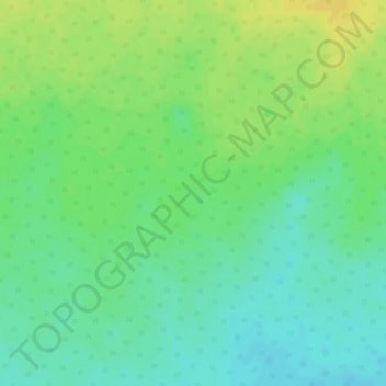
Click on the map to display elevation.
About this map
Name: Parque Nacional del Este topographic map, elevation, terrain.
Average elevation: 138 ft
Minimum elevation: 95 ft
Maximum elevation: 184 ft
Other topographic maps
Click on a map to view its topography, its elevation and its terrain.
Bayahíbe
República Dominicana > La Altagracia > San Rafael del Yuma
Bayahíbe, San Rafael del Yuma, La Altagracia, 23200, República Dominicana
Average elevation: 23 ft