
Águila topographic map
Interactive map
Click on the map to display elevation.
About this map
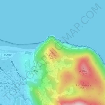
Name: Águila topographic map, elevation, terrain.
Location: Águila, Santoña, Cantabria, 39749, España (43.46262 -3.44780 43.46272 -3.44770)
Average elevation: 217 ft
Minimum elevation: -3 ft
Maximum elevation: 1,066 ft