
Андреевка topographic map
Interactive map
Click on the map to display elevation.
About this map
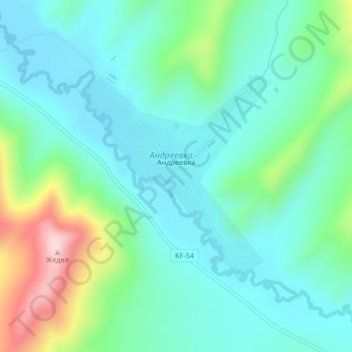
Name: Андреевка topographic map, elevation, terrain.
Location: Андреевка, Altai District, East Kazakhstan Region, Kazakhstan (49.51518 84.45718 49.53096 84.48006)
Average elevation: 1,995 ft
Minimum elevation: 1,739 ft
Maximum elevation: 2,808 ft