
Make a donation
Gear up for your next adventure:
As an Amazon Associate, this site earns from qualifying purchases at no extra cost to you.
Al-Mayadin topographic map
Click on the map to display elevation.
Make a donation
Gear up for your next adventure:
As an Amazon Associate, this site earns from qualifying purchases at no extra cost to you.
About this map
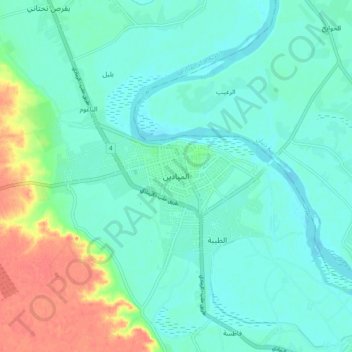
Name: Al-Mayadin topographic map, elevation, terrain.
Average elevation: 643 ft
Minimum elevation: 600 ft
Maximum elevation: 761 ft
Make a donation
Gear up for your next adventure:
As an Amazon Associate, this site earns from qualifying purchases at no extra cost to you.
Other topographic maps
Click on a map to view its topography, its elevation and its terrain.
Deir ez-Zor
Syria > Deir ez-Zor Governorate
From 10 April 2016 to 31 August 2017, the World Food Programme supplied the city with food and essential relief items through a high-altitude airdrop service. With a Russian contracted Il-76 aircraft and parachute systems provided by Canada, the US, and Russia, a total of 8015 pallets with an average weight of…
Average elevation: 702 ft