
阿力麻土东乡族乡 topographic map
Interactive map
Click on the map to display elevation.
About this map
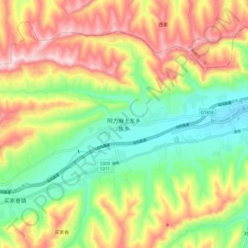
Name: 阿力麻土东乡族乡 topographic map, elevation, terrain.
Location: 阿力麻土东乡族乡, 广河县, 临夏回族自治州, 甘肃省, 中国 (35.44012 103.45966 35.52012 103.53966)
Average elevation: 7,028 ft
Minimum elevation: 6,414 ft
Maximum elevation: 7,822 ft
Other topographic maps
Click on a map to view its topography, its elevation and its terrain.