
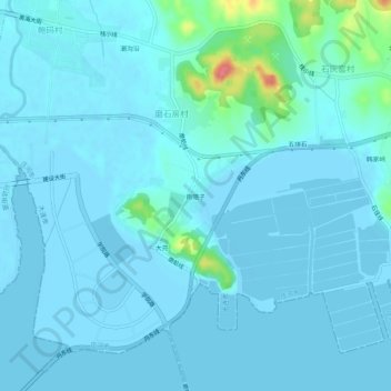
南隈子 topographic map
Interactive map
Click on the map to display elevation.
About this map
Name: 南隈子 topographic map, elevation, terrain.
Location: 南隈子, 磨石房村, 庄河市, 大连市, 辽宁省, 116400, 中国 (39.65682 123.00713 39.69682 123.04713)
Average elevation: 23 ft
Minimum elevation: -3 ft
Maximum elevation: 243 ft