
Immoula topographic map
Interactive map
Click on the map to display elevation.
About this map
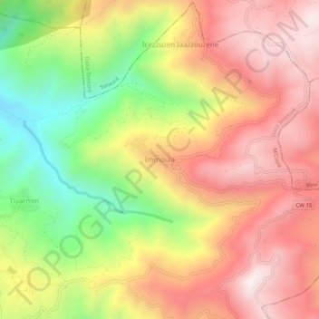
Name: Immoula topographic map, elevation, terrain.
Location: Immoula, M'Cisna, Daïra Seddouk, Béjaïa, 06038, Algérie (36.55430 4.72265 36.59430 4.76265)
Average elevation: 2,474 ft
Minimum elevation: 886 ft
Maximum elevation: 3,734 ft