
Qaryat Annan topographic map
Interactive map
Click on the map to display elevation.
About this map
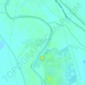
Name: Qaryat Annan topographic map, elevation, terrain.
Average elevation: 108 ft
Minimum elevation: 89 ft
Maximum elevation: 177 ft
Other topographic maps
Click on a map to view its topography, its elevation and its terrain.
Babylon
Iraq > Babil Governorate > Qaryat Annan
Babylon, Qaryat Annan, Al-Hillah Central Subdistrict, Al-Hillah District, Babil Governorate, Iraq
Average elevation: 105 ft
Al Qasim
Iraq > Babil Governorate > Al Qasim
Al Qasim, Al-Qasim Subdistrict, Al-Hashimiyah District, Babil Governorate, 1784, Iraq
Average elevation: 85 ft