
Rodeiro topographic map
Interactive map
Click on the map to display elevation.
About this map
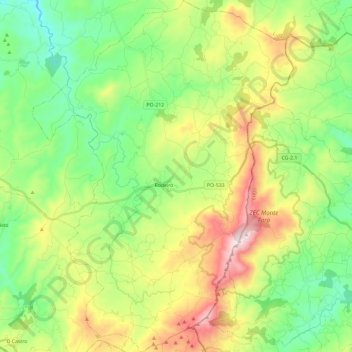
Name: Rodeiro topographic map, elevation, terrain.
Location: Rodeiro, Deza, Pontevedra, Galicia, España (42.56662 -8.03614 42.73974 -7.86143)
Average elevation: 2,310 ft
Minimum elevation: 1,470 ft
Maximum elevation: 3,858 ft