
Demirtaş topographic map
Interactive map
Click on the map to display elevation.
About this map
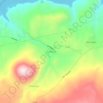
Name: Demirtaş topographic map, elevation, terrain.
Location: Demirtaş, Karakoçan, Elazığ, Eastern Anatolia Region, Turkey (39.12948 40.16541 39.16948 40.20541)
Average elevation: 4,560 ft
Minimum elevation: 3,652 ft
Maximum elevation: 5,741 ft
Other topographic maps
Click on a map to view its topography, its elevation and its terrain.