
Maharajganj topographic map
Interactive map
Click on the map to display elevation.
About this map
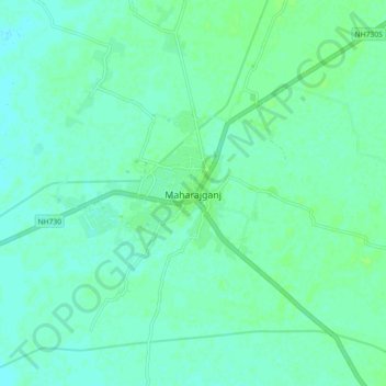
Name: Maharajganj topographic map, elevation, terrain.
Location: Maharajganj, Mahrajganj District, Uttar Pradesh, 273303, India (27.10580 83.52219 27.18580 83.60219)
Average elevation: 302 ft
Minimum elevation: 289 ft
Maximum elevation: 315 ft