
Minamidaito topographic map
Interactive map
Click on the map to display elevation.
About this map
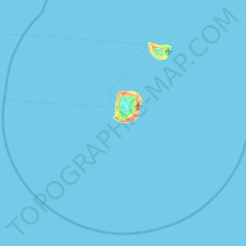
Name: Minamidaito topographic map, elevation, terrain.
Location: Minamidaito, Shimajiri, Okinawa Prefecture, Japan (25.61293 130.99149 26.01385 131.48607)
Average elevation: 0 ft
Minimum elevation: 0 ft
Maximum elevation: 226 ft
Other topographic maps
Click on a map to view its topography, its elevation and its terrain.