
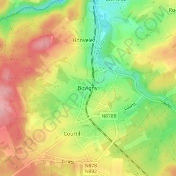
Bovigny topographic map
Interactive map
Click on the map to display elevation.
About this map
Name: Bovigny topographic map, elevation, terrain.
Location: Bovigny, Gouvy, Bastenaken, Luxemburg, Wallonië, 6670, België (50.20442 5.89824 50.24442 5.93824)
Average elevation: 1,575 ft
Minimum elevation: 1,365 ft
Maximum elevation: 1,795 ft