
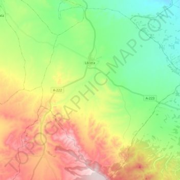
Lécera topographic map
Interactive map
Click on the map to display elevation.
About this map
Name: Lécera topographic map, elevation, terrain.
Location: Lécera, Campo de Belchite, Zaragoza, Aragón, 50131, España (41.11229 -0.76141 41.25159 -0.60990)
Average elevation: 1,946 ft
Minimum elevation: 1,152 ft
Maximum elevation: 3,205 ft