
Iguana Island topographic map
Interactive map
Click on the map to display elevation.
About this map
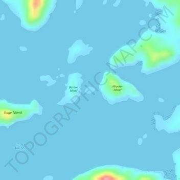
Name: Iguana Island topographic map, elevation, terrain.
Location: Iguana Island, Culion, Palawan, Mimaropa, 5315, Philippines (11.78096 119.98169 11.78205 119.98326)
Average elevation: 16 ft
Minimum elevation: 0 ft
Maximum elevation: 335 ft