
Jomi topographic map
Interactive map
Click on the map to display elevation.
About this map
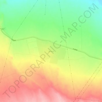
Name: Jomi topographic map, elevation, terrain.
Location: Jomi, Zafarobod District, Sughd Region, Tajikistan (40.17107 69.07475 40.21107 69.11475)
Average elevation: 1,345 ft
Minimum elevation: 1,102 ft
Maximum elevation: 1,578 ft