
La Riaudellerie topographic map
Interactive map
Click on the map to display elevation.
About this map
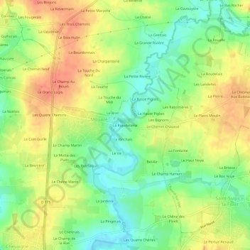
Name: La Riaudellerie topographic map, elevation, terrain.
Average elevation: 207 ft
Minimum elevation: 121 ft
Maximum elevation: 289 ft
Other topographic maps
Click on a map to view its topography, its elevation and its terrain.
La Saudrais
France > Bretagne > Ille-et-Vilaine > Mouazé
La Saudrais, Mouazé, Rennes, Ille-et-Vilaine, Bretagne, France métropolitaine, 35250, France
Average elevation: 200 ft
La Vieuville Hédée
France > Bretagne > Ille-et-Vilaine > Mouazé > La Vieuville Hédée
La Vieuville Hédée, Mouazé, Rennes, Ille-et-Vilaine, Bretagne, France métropolitaine, 35250, France
Average elevation: 190 ft