
Cipete topographic map
Interactive map
Click on the map to display elevation.
About this map
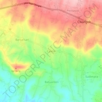
Name: Cipete topographic map, elevation, terrain.
Location: Cipete, Banyumas, Central Java, Java, 53163, Indonesia (-7.43691 109.10807 -7.39691 109.14807)
Average elevation: 538 ft
Minimum elevation: 262 ft
Maximum elevation: 810 ft