Espinhaço de Cão topographic map
Interactive map
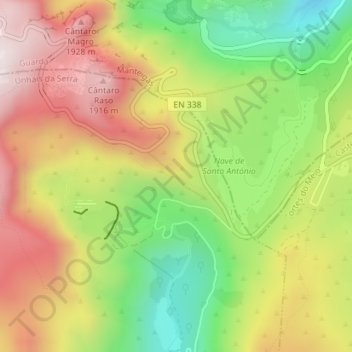
Click on the map to display elevation.
About this map
Name: Espinhaço de Cão topographic map, elevation, terrain.
Average elevation: 5,279 ft
Minimum elevation: 4,127 ft
Maximum elevation: 6,437 ft

Click on the map to display elevation.
Name: Espinhaço de Cão topographic map, elevation, terrain.
Average elevation: 5,279 ft
Minimum elevation: 4,127 ft
Maximum elevation: 6,437 ft