
Muros topographic map
Interactive map
Click on the map to display elevation.
About this map
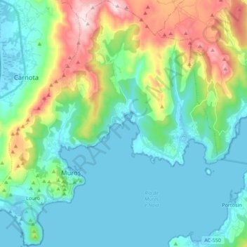
Name: Muros topographic map, elevation, terrain.
Location: Muros, La Coruña, Galicia, España (42.73736 -9.11580 42.86024 -8.95797)
Average elevation: 456 ft
Minimum elevation: -7 ft
Maximum elevation: 1,906 ft