
Annaberg-Buchholz topographic map
Interactive map
Click on the map to display elevation.
About this map
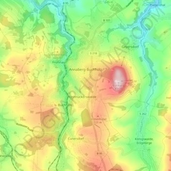
Name: Annaberg-Buchholz topographic map, elevation, terrain.
Location: Annaberg-Buchholz, Erzgebirgskreis, Saxe, 09456, Allemagne (50.53812 12.97035 50.60662 13.05432)
Average elevation: 1,998 ft
Minimum elevation: 1,457 ft
Maximum elevation: 2,740 ft