
La Concepción (del Naya)} topographic map
Interactive map
Click on the map to display elevation.
About this map
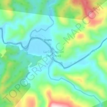
Name: La Concepción (del Naya)} topographic map, elevation, terrain.
Average elevation: 509 ft
Minimum elevation: 141 ft
Maximum elevation: 1,381 ft
Other topographic maps
Click on a map to view its topography, its elevation and its terrain.
Saul
Colombia > Valle del Cauca > Buenaventura
Saul, Buenaventura, Valle del Cauca, Colombia
Average elevation: 30 ft