Urambo topographic map
Interactive map
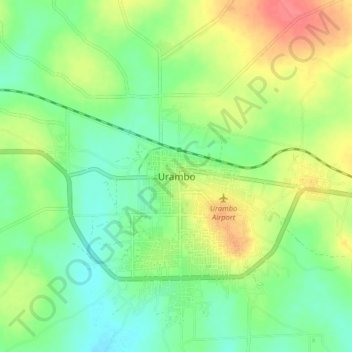
Click on the map to display elevation.
About this map
Name: Urambo topographic map, elevation, terrain.
Average elevation: 3,661 ft
Minimum elevation: 3,583 ft
Maximum elevation: 3,783 ft

Click on the map to display elevation.
Name: Urambo topographic map, elevation, terrain.
Average elevation: 3,661 ft
Minimum elevation: 3,583 ft
Maximum elevation: 3,783 ft