
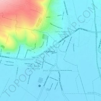
Natívitas topographic map
Interactive map
Click on the map to display elevation.
About this map
Name: Natívitas topographic map, elevation, terrain.
Location: Natívitas, Tlaxcala, Mexico (19.22804 -98.32440 19.23911 -98.30687)
Average elevation: 7,290 ft
Minimum elevation: 7,185 ft
Maximum elevation: 7,730 ft