Geolocate

Diamond topographic map

Click on the map to display elevation.

About this map

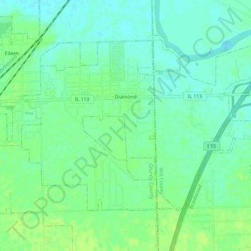
Name: Diamond topographic map, elevation, terrain.

Location: Diamond, Grundy County, Illinois, United States (41.27403 -88.26953 41.29584 -88.22674)

Average elevation: 561 ft

Minimum elevation: 538 ft

Maximum elevation: 581 ft

Grundy County trails, hiking, mountain biking, running and outdoor activities

Other topographic maps

Click on a map to view its topography, its elevation and its terrain.

Gear up for your next adventure:

🎒Day Hiking Backpack - Lightweight backpack perfect for day trips and outdoor adventures
👖Convertible Hiking Pants - Versatile zip-off pants for changing altitudes and temperatures
🖼️Topo Map Wall Art - Decorative topographic prints of famous peaks and regions
🏥Hiking First Aid Kits - Comprehensive medical kits for remote trail injuries
🛡️Insect Repellent - Protection against bugs during outdoor activities

As an Amazon Associate, this site earns from qualifying purchases at no extra cost to you.