
Spittal an der Drau topographic map
Interactive map
Click on the map to display elevation.
About this map
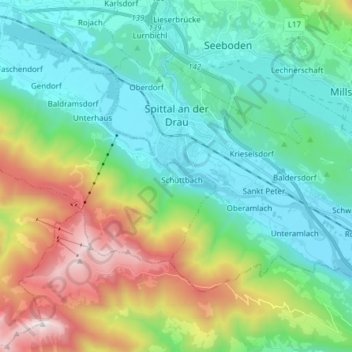
Name: Spittal an der Drau topographic map, elevation, terrain.
Average elevation: 3,179 ft
Minimum elevation: 1,686 ft
Maximum elevation: 7,169 ft