
Ansfelden topographic map
Interactive map
Click on the map to display elevation.
About this map
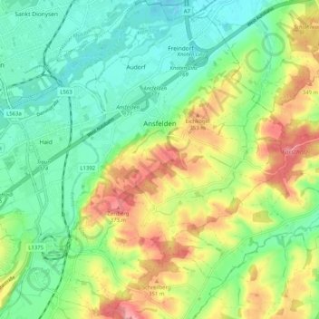
Name: Ansfelden topographic map, elevation, terrain.
Location: Ansfelden, Linz-Land, Upper Austria, 4053, Austria (48.16749 14.22807 48.23508 14.32928)
Average elevation: 994 ft
Minimum elevation: 837 ft
Maximum elevation: 1,257 ft