
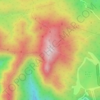
云顶山 topographic map
Interactive map
Click on the map to display elevation.
About this map
Name: 云顶山 topographic map, elevation, terrain.
Location: 云顶山, 南安市, 泉州市, 福建省, 中国 (24.89565 118.15053 24.89575 118.15063)
Average elevation: 3,084 ft
Minimum elevation: 2,087 ft
Maximum elevation: 3,789 ft
Other topographic maps
Click on a map to view its topography, its elevation and its terrain.