
X-Batún topographic map
Interactive map
Click on the map to display elevation.
About this map
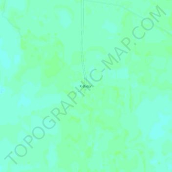
Name: X-Batún topographic map, elevation, terrain.
Location: X-Batún, Valladolid, Yucatán, México (20.52889 -88.08083 20.56889 -88.04083)
Average elevation: 72 ft
Minimum elevation: 59 ft
Maximum elevation: 82 ft
Other topographic maps
Click on a map to view its topography, its elevation and its terrain.
Kanxoc
México > Yucatán > Valladolid
Kanxoc, Valladolid, Yucatán, 97785, México
Average elevation: 72 ft
Colonia Centro
México > Yucatán > Valladolid > Valladolid
Colonia Centro, Privada Santa Lucía, Valladolid, Yucatán, México
Average elevation: 75 ft
Valladolid
México > Yucatán > Valladolid > Valladolid
Valladolid, Yucatán, 97780, México
Average elevation: 75 ft