
下庄 topographic map
Interactive map
Click on the map to display elevation.
About this map
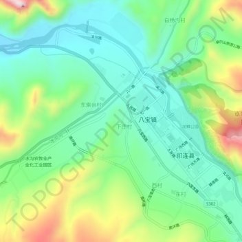
Name: 下庄 topographic map, elevation, terrain.
Location: 下庄, 祁连县, 海北藏族自治州, 青海省, 中国 (38.16256 100.21810 38.20256 100.25810)
Average elevation: 9,196 ft
Minimum elevation: 8,747 ft
Maximum elevation: 10,174 ft
Other topographic maps
Click on a map to view its topography, its elevation and its terrain.