
Định Quang topographic map
Interactive map
Click on the map to display elevation.
About this map
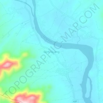
Name: Định Quang topographic map, elevation, terrain.
Location: Định Quang, Vĩnh Thạnh District, Bình Định Province, Vietnam (14.04392 108.77423 14.08392 108.81423)
Average elevation: 230 ft
Minimum elevation: 98 ft
Maximum elevation: 1,076 ft